AI-powered platform to help UAE farmers detect crop diseases – News

[ad_1]
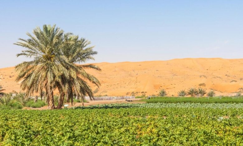
stock photo
Farm owners in the UAE will soon be able to get a report detailing the soil quality on their farms, thanks to the geospatial data platform launched by the UAE Space Agency. The platform, which has an artificial intelligence model that provides access to satellite data, will help different researchers, startups and R&D centers to access satellite images.
“We have a pilot project focused on Abu Dhabi,” said Sultan Al Zeidi, Senior Space Project Development Engineer at the UAE Space Agency. “The satellite images will be examined by AI and a performance report will be provided to farm owners, which will be available to them on the Nabat platform.”
The Nabat platform, powered by artificial intelligence, was launched in the United Arab Emirates last year by the International Center for Biosaline Agriculture (ICBA) to help farmers detect crop disorders. It can identify more than a dozen different crop diseases and alert farmers about them.
One stop shop
In addition to agricultural reports, the platform will also offer other services. According to Sultan, it will be a one-stop shop for satellite images.
“Satellites in orbit provide a huge amount of data every day,” he said. “We are using AI calculation capabilities to benefit from these satellite images and converting this raw data into applications, products and analytical reports that will be available in a single dashboard. The dashboard will provide figures, data about the planet and other information, which will be available to the general public.”
[ad_2]


